GPS Rally Odometer
This app is designed for various types of automobile rallies that require measurement of time, speed, and distance
between segments of the rally route including stages and checkpoints.
To make sure that all initial conditions are set properly when using GPS, touch the "Reset/Pause" button and choose the "Reset, New Rally" option.
Also, it is very important to allow the GPS devices, whether Apple's internal GPS or the third-party Dual GPS Receiver, time to determine
the current location and to begin interacting with the app by driving around a bit before you start using the app on a rally course.
Begin computing distance, time, and speed by touching the "Start Rally" button. Alternatively, when the app has been either
restarted to zero distance or paused, you may select a minute for the "Next Starting Time."
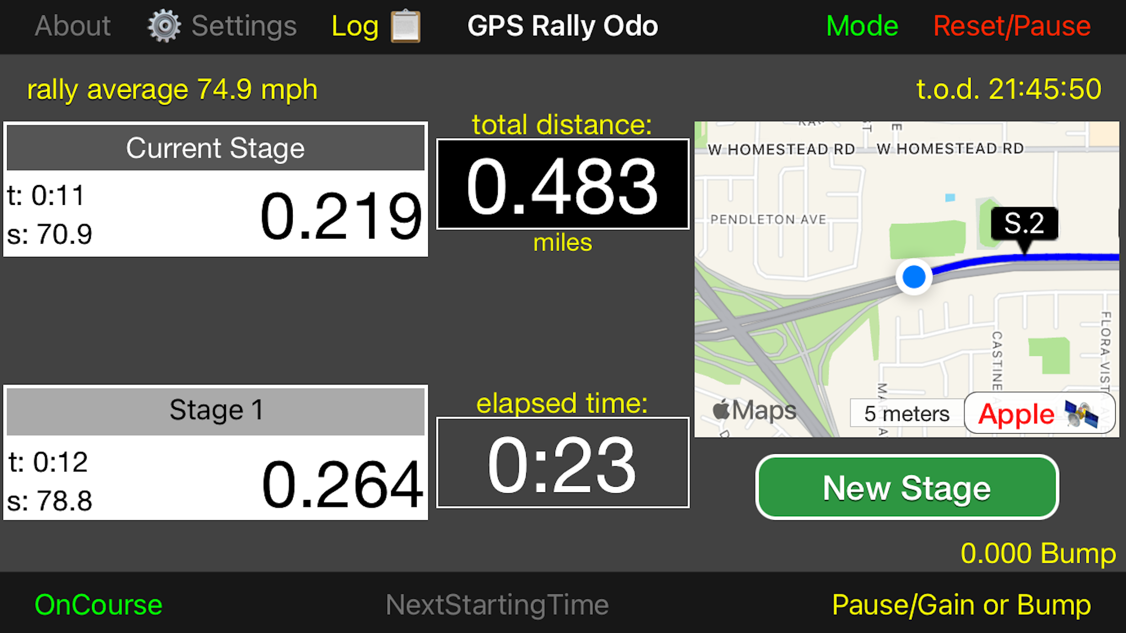
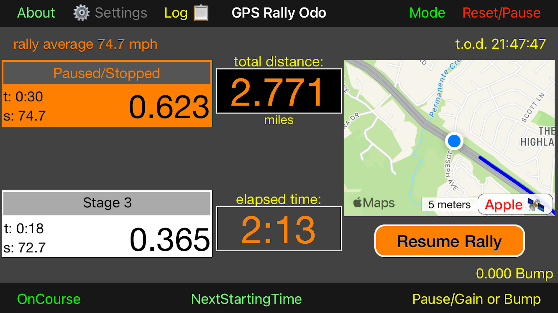
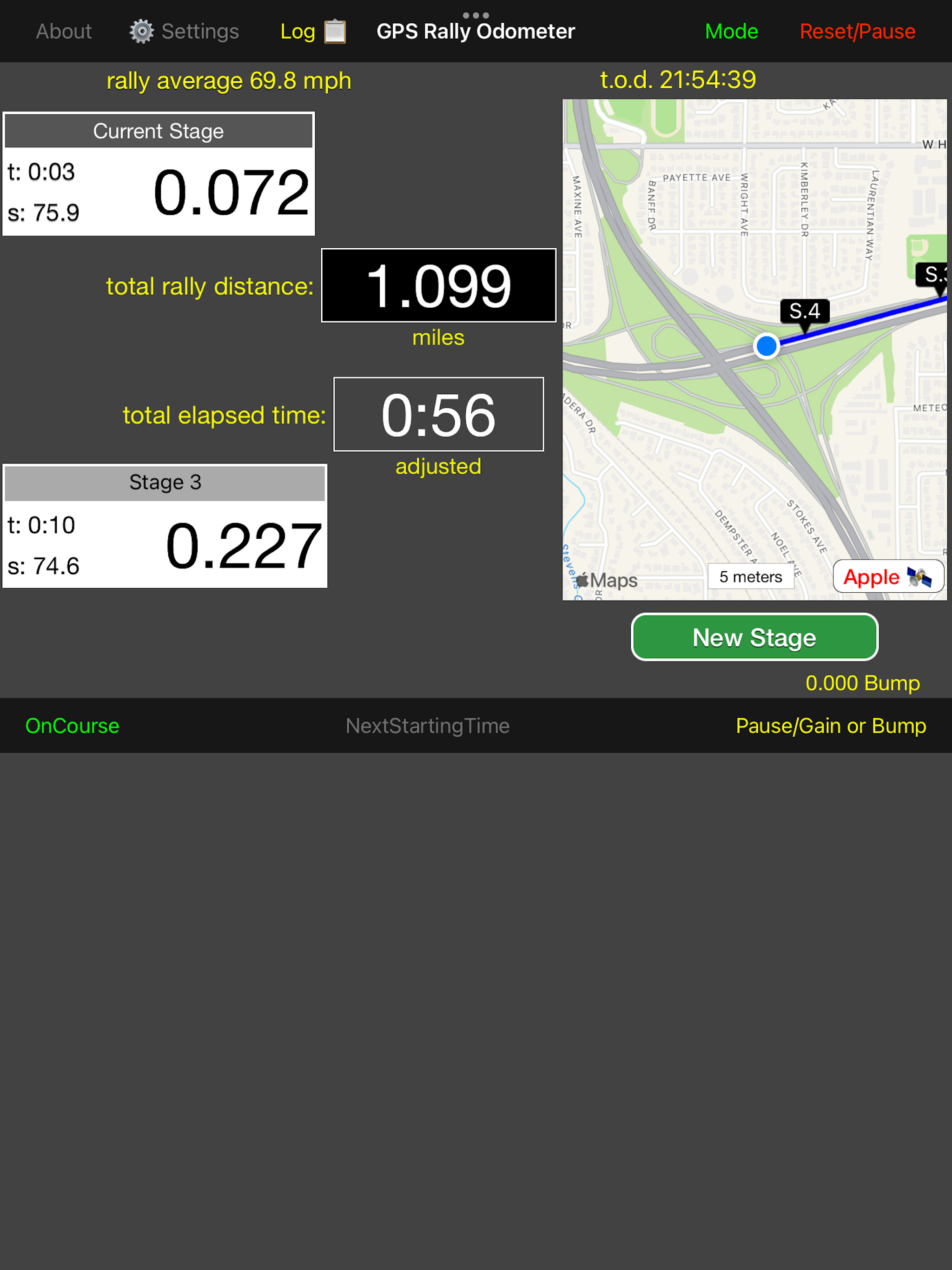
GPS inputs trace the path along the rally route. From time to time you may measure time, speed, and distance for a stage or
a checkpoint. These measurements will be stored in a table and the points will be indicated on a map.
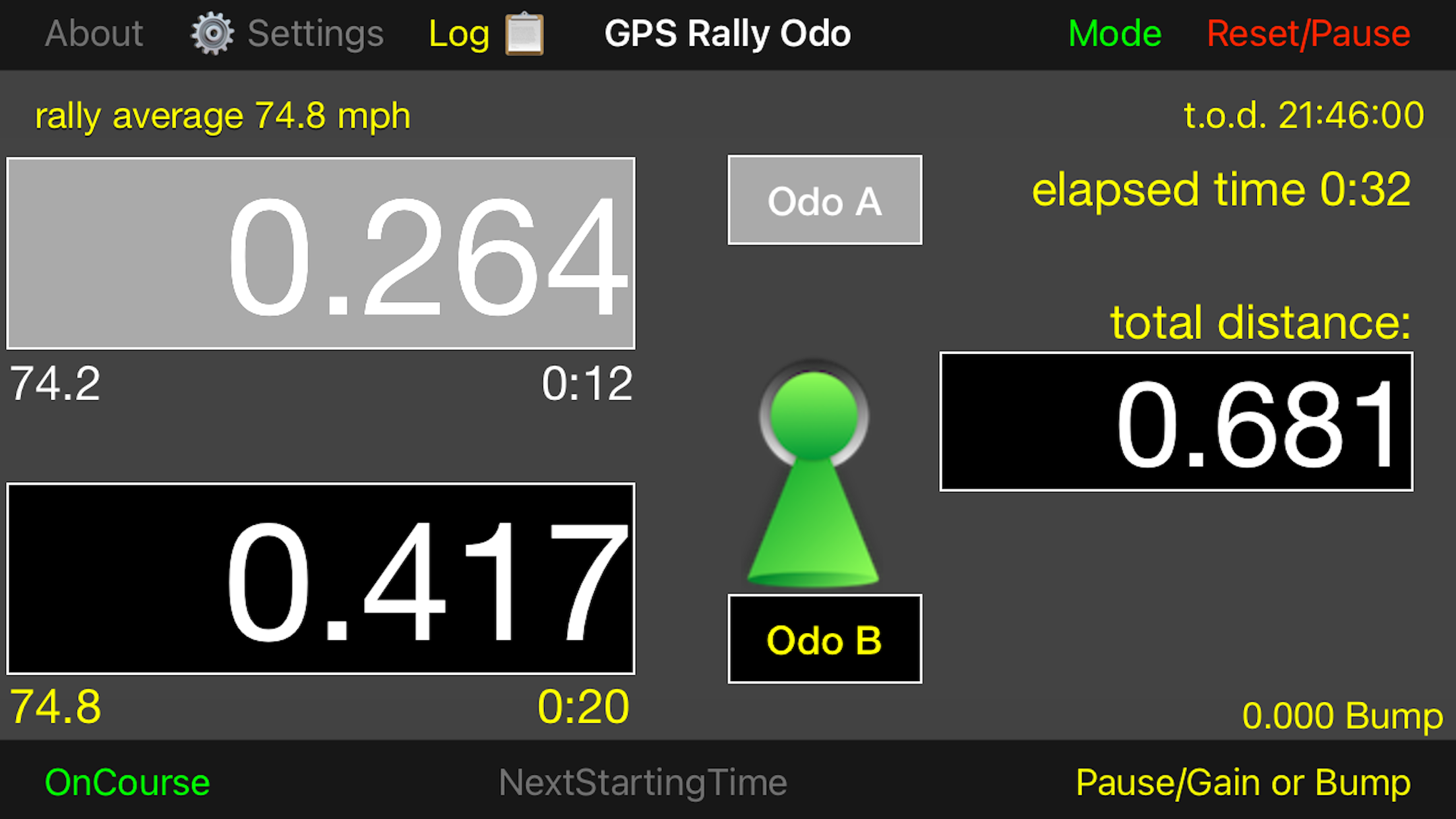
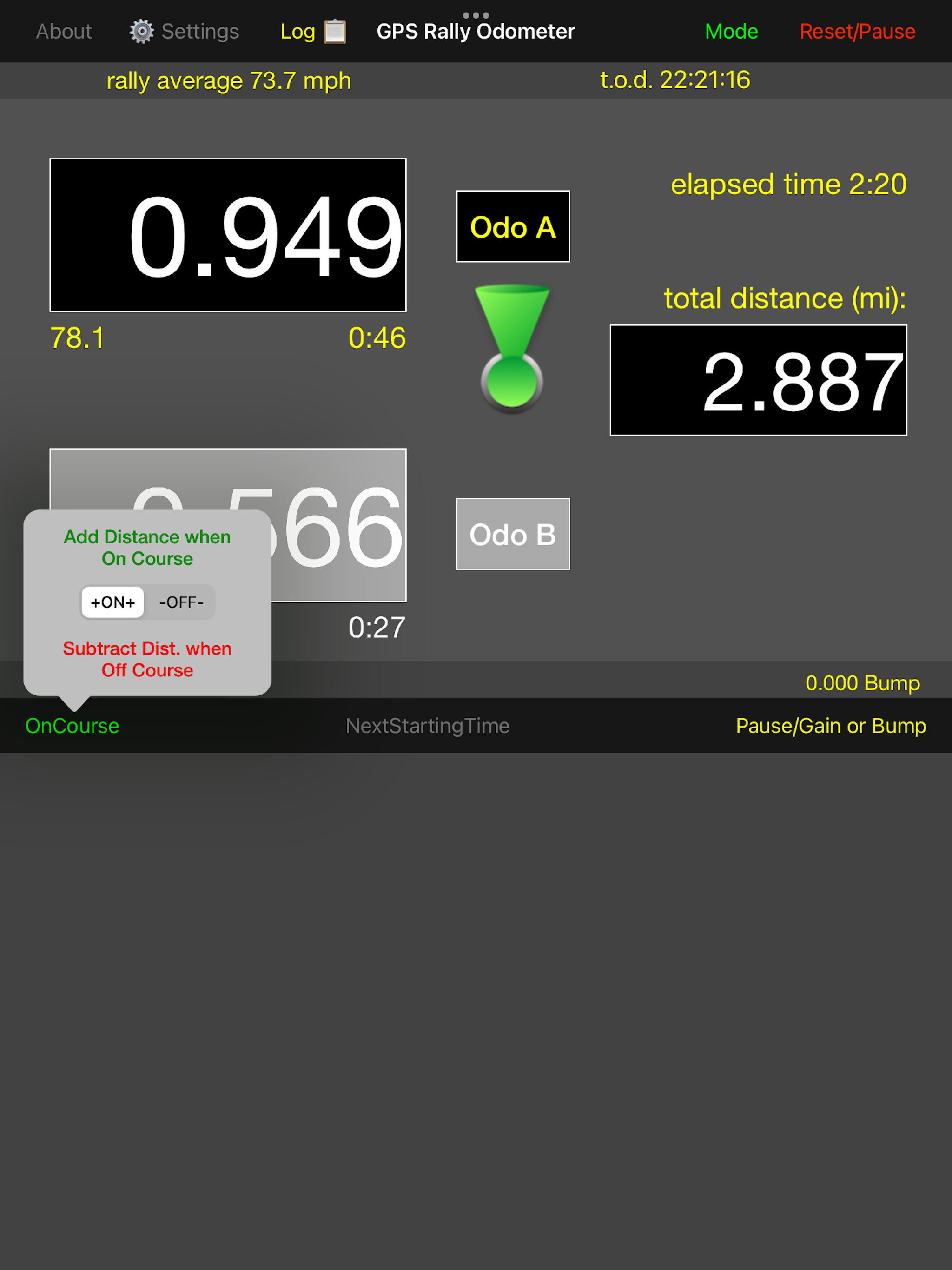
An alternative view showing the odometer measurements more prominently is available by touching the "Mode" button in the upper menu bar.
You may subtract distance when you travel off course. A toggle button switches between on course (blue line)
and off course (red line) travel.
Distance measurement can be set to miles or kilometers and time measurement can be set to minutes and seconds or decimal minutes.
The distance may be displayed with either 2 or 3 digit precision. Make your selections by touching the Settings
linked with a "sprocket" button beside the "About" button.
The app is designed to adjust the GPS coordinates of a moving vehicle owing to the time between reception of new GPS
signals and to the time lag between the time the signal was generated from satellites and the time when processing
actually occurs in the app.
Also, you may adjust the location coordinate by the distance between the GPS receiver in the car (either the iPhone or
iPad or some third-party GPS receiver) and the position on the car where a rally may measure time or location
at timed controls (sometimes this is the front of the car or the center of the front wheels).
These three potential errors in coordinate measurement are discussed at length in a 6-part thread in the Facebook
"Road Rally Tech Talk" forum.
To fine-tune the app's distance between GPS receiver and front wheels (if necessary) and clock time figures to the rally's official measures with the options in the Adjustments popup.
Unlock to make adjustments and lock to save the changes you make and to prevent inadvertent changes.
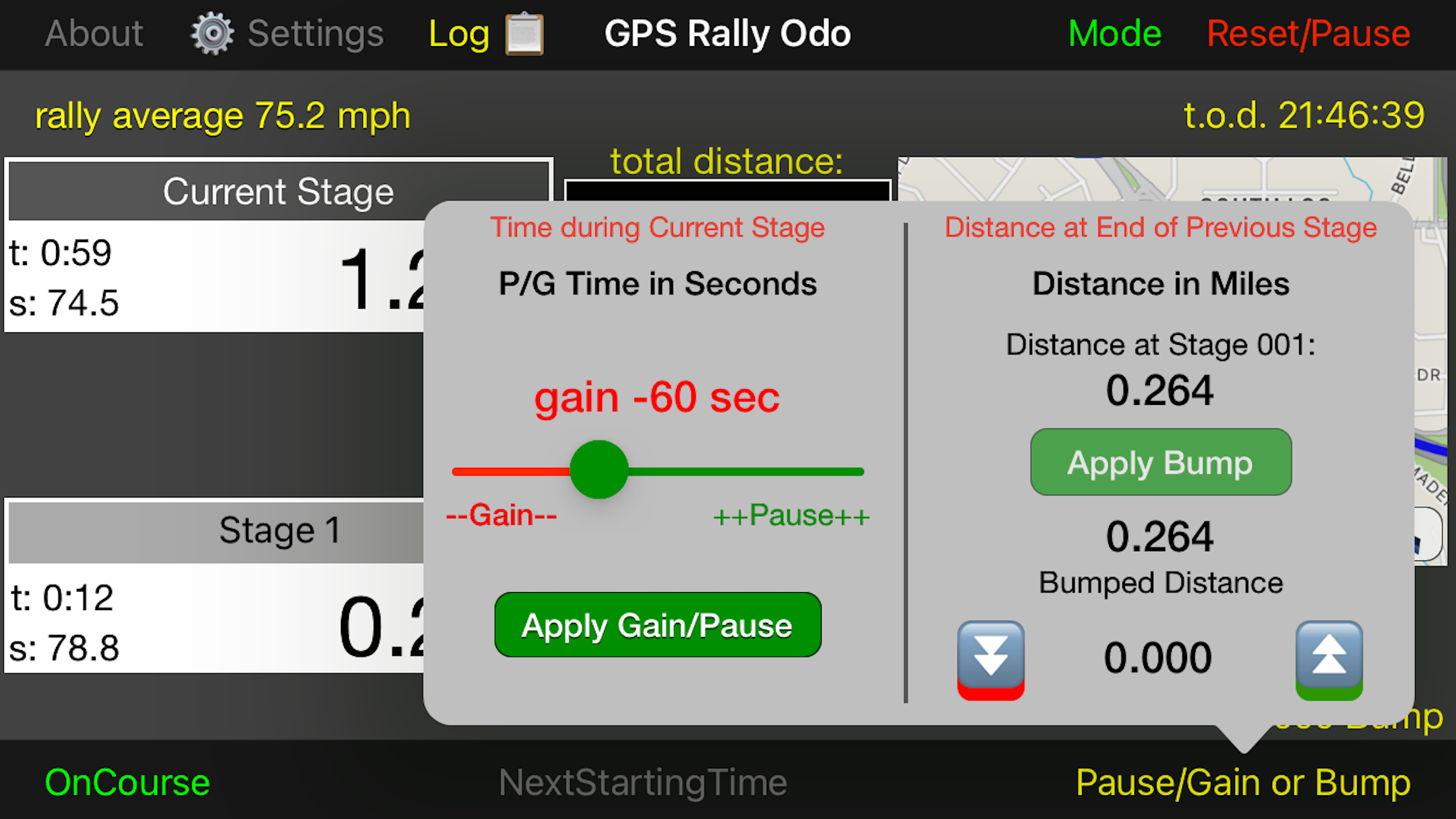
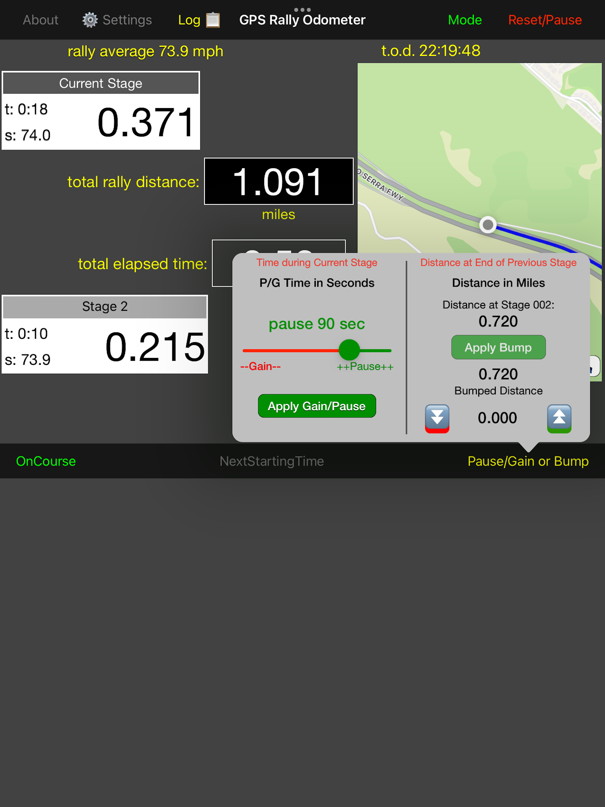
You may pause or gain time on a particular stage by adding or subtracting time on a stage. Also, you might wish to "bump" the recorded GPS distance +/- to align with official rally distances.
Touch the button in the lower right-hand corner to access the "bump" function.
If the app's Time of Day (T.O.D.) clock does not match the rally's official clock, you may synchronize the two clocks by making small adjustments as required.
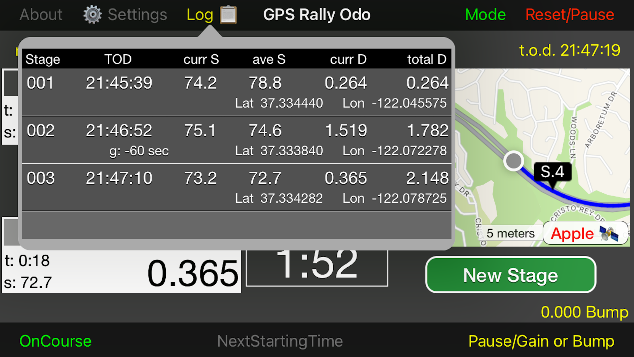
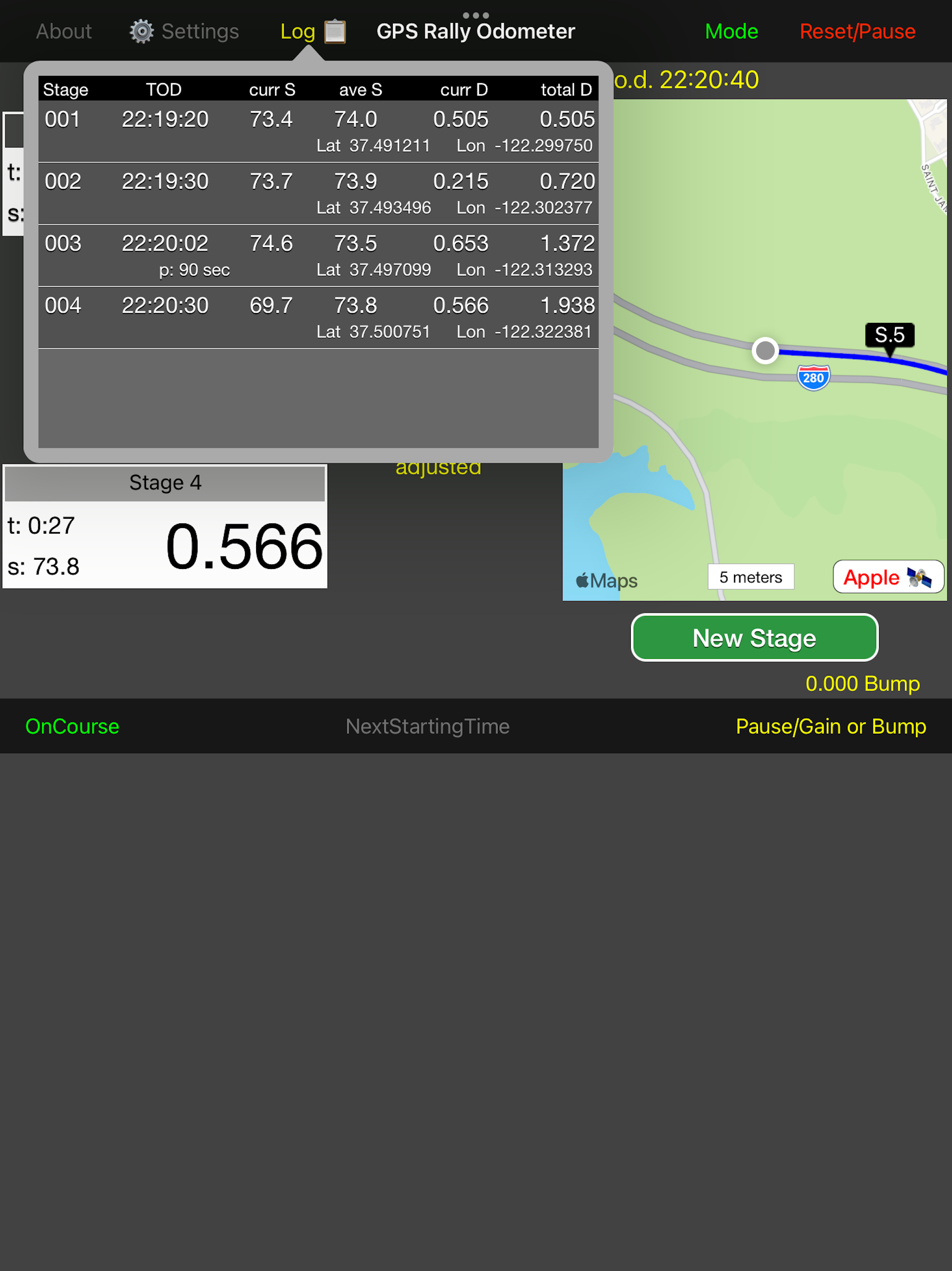
A log view shows additional information at each stage including the latitude, longitude, and the current speed at the time the New Stage button was touched.
For better GPS reception and improved accuracy, third-party wireless GPS receivers are recommended. This app has been tested with Bluetooth connectivity to a Dual XGPS150A GPS Receiver.
This app works with both iPhones and iPads, even those without Cellular connectivity. However, there can only be one Apple device with Bluetooth activated within range of the Dual Receiver.
Place devices not running this app in Airplane mode and be sure that the Dual Receiver is connected with the device and app you are using.
When Dual is connected to the app, the button in the lower right-hand corner of the map display will show "Dual" in green letters, otherwise,
the button will show "Apple" in red letters. You may have to restart your Apple device and perhaps restart the Dual Receiver once or twice to get a successful connection.
Disclaimer: Continued use of GPS running in the background can dramatically decrease battery life.
|


